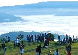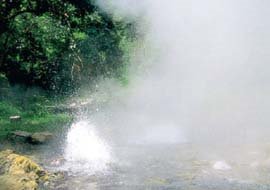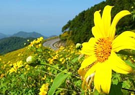
It was formerly know as an area of Doi Sam Muen highland development project which was initited by His Majesty the King to solve the problem of forest encroachment and poaching, as well as to enhance the lives of the local hilltribe people.
As this area is filled with attractive natural condition and virginal forests provided vital watersheds, Huai Nam Dang was declared the 81st national park of Thailand by the Royal Forest Department on 14 August 1995.
Huai Nam Dang National Park Area

Huai Nam Dang National Park covers four districts : Mae Taeng, Chiang Dao, and Wiang Haeng in
Chiang Mai province including Pai district in Mae Hong Son province, covering an area of approximately 1,247 square kilometres.
Later on it was designated as the National Park for commemorating 100th year establishment of the Royal Forest Department and also for the celebration of His Majesty the King’s 50th year on the throne.
Route to Huai Nam Dang National Park, Chiang Mai - Thailand

The Huai Nam Dang National Park is located in Amphoe Mae Taeng, Amphoe Chiang Dao, and Amphoe Wiang Haeng in the
Chiang Mai province and in Amphoe Pai in the Mae Hong Son Province.
Most of the landscape is mountainous. The highest hill is Doi Chang, standing 1,926 meters above sea level. The National Park Office is in Amphoe Pai, in Mae Hong Son.
Huai Nam Dang National Park: Mu 5, Kit Chang Sub-district, Amphur Mae Taeng Chiang Mai Thailand 50150
[Source: www.dnp.go.th]
 It was formerly know as an area of Doi Sam Muen highland development project which was initited by His Majesty the King to solve the problem of forest encroachment and poaching, as well as to enhance the lives of the local hilltribe people.
As this area is filled with attractive natural condition and virginal forests provided vital watersheds, Huai Nam Dang was declared the 81st national park of Thailand by the Royal Forest Department on 14 August 1995.
 Huai Nam Dang National Park covers four districts : Mae Taeng, Chiang Dao, and Wiang Haeng in Chiang Mai province including Pai district in Mae Hong Son province, covering an area of approximately 1,247 square kilometres.
Later on it was designated as the National Park for commemorating 100th year establishment of the Royal Forest Department and also for the celebration of His Majesty the King’s 50th year on the throne.
  The Huai Nam Dang National Park is located in Amphoe Mae Taeng, Amphoe Chiang Dao, and Amphoe Wiang Haeng in the Chiang Mai province and in Amphoe Pai in the Mae Hong Son Province.
Most of the landscape is mountainous. The highest hill is Doi Chang, standing 1,926 meters above sea level. The National Park Office is in Amphoe Pai, in Mae Hong Son.


0 Comments:
Post a Comment
<< Home